
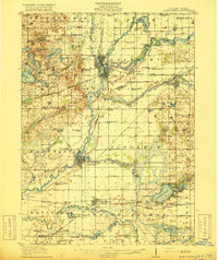
1916 Map of Three Rivers
USGS Topo · Published 1916About this map
The St. Joseph River and its major tributaries, including the Portage River, Rocky River, and Prairie River, converge at the industrial and rail hub of Three Rivers. This period of the early twentieth century shows a landscape defined by water power and transit, with the Sturgis Power Dam harnessing the river and the New York Central and Michigan Central railroads crisscrossing the county. Further south, the Chicago Road passes through White Pigeon, a critical artery for early regional travel.
Find a feature on this map
103 named features on this map. Tap any name to fly to it.
Don’t see what you’re looking for? This feature index may not catch every label — zoom into the map to look around manually.
Map Details
Editions of this 1916 Three Rivers Map
3 editions found
Other maps of this area

1914 · Three Rivers
USGS Topo · 1:62,500

1918 · Leonidas
USGS Topo · 1:62,500

1922 · Schoolcraft
USGS Topo · 1:62,500

1943 · Three Rivers
USGS Topo · 1:62,500

1943 · Schoolcraft
USGS Topo · 1:62,500

1944 · Leonidas
USGS Topo · 1:62,500

1944 · Marcellus
USGS Topo · 1:62,500

1946 · Marcellus
USGS Topo · 1:62,500

1947 · Lagrange
USGS Topo · 1:24,000

1947 · Leonidas
USGS Topo · 1:62,500