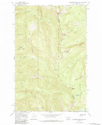
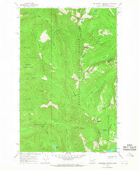
1965 Map of Thunderbolt Mountain
USGS Topo · Published 1984About this map
Flathead National Forest and the Bob Marshall Wilderness dominate this high-altitude landscape along the border of Flathead and Lake counties. The topography is defined by the massive divide between the Swan River drainage to the west and the Bunker Creek system to the east. The 1960s survey records a primitive backcountry infrastructure composed almost entirely of a pack trail network and the Alpine Trail, which traces the high ridges past Thunderbolt Mountain and Warrior Mountain. Remote water bodies like Inspiration Lakes, Scout Lake, and Bunker Lake are tucked into glacial cirques, connected only by these thin footpaths. This era represents a period of preserved wilderness character, where landmarks like Inspiration Pass and Gildart Peak served as critical waypoints for forest rangers and early recreational packers.
Find a feature on this map
33 named features on this map. Tap any name to fly to it.
Don’t see what you’re looking for? This feature index may not catch every label — zoom into the map to look around manually.
Map Details
Editions of this 1965 Thunderbolt Mountain Map
Other maps of this area

1955 · Choteau
USGS Topo · 1:250,000

1957 · Choteau
USGS Topo · 1:250,000

1958 · Choteau
USGS Topo · 1:250,000

1962 · Choteau
USGS Topo · 1:250,000
1965 · Connor Creek
USGS Topo · 1:24,000

1965 · Sunburst Lake
USGS Topo · 1:24,000
1965 · Swan Lake
USGS Topo · 1:24,000
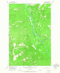
1965 · Tin Creek
USGS Topo · 1:24,000
1965 · Thunderbolt Mountain
USGS Topo · 1:24,000

1965 · Swan Peak
USGS Topo · 1:24,000