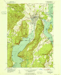
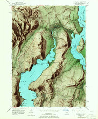
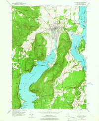
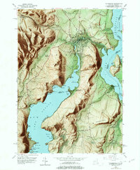
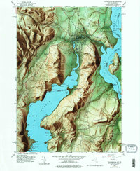
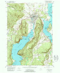
1950 Map of Ticonderoga
USGS Topo · Published 1952About this map
The strategic narrows between Lake Champlain and Lake George define this mid-century landscape, centered on the historic village of Ticonderoga. The topography is dominated by steep rises like Mt Defiance and South Mountain, which overlook the vital water corridors that shaped early American history. Cultural landmarks are densely clustered near the village and the prominent grounds of Fort Ticonderoga, including the St Marys Cem and the Ticonderoga Country Club.
Find a feature on this map
75 named features on this map. Tap any name to fly to it.
Don’t see what you’re looking for? This feature index may not catch every label — zoom into the map to look around manually.
Map Details
Editions of this 1950 Ticonderoga Map
9 editions found
Other maps of this area

1893 · Whitehall
USGS Topo · 1:62,500

1894 · Ticonderoga
USGS Topo · 1:62,500

1895 · Whitehall
USGS Topo · 1:62,500

1895 · Paradox Lake
USGS Topo · 1:62,500

1896 · Ticonderoga
USGS Topo · 1:62,500

1897 · Bolton
USGS Topo · 1:62,500

1897 · Paradox Lake
USGS Topo · 1:62,500

1898 · Whitehall
USGS Topo · 1:62,500

1900 · Bolton
USGS Topo · 1:62,500

1902 · Whitehall
USGS Topo · 1:62,500