
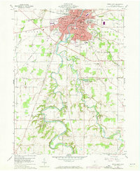
1960 Map of Tiffin South
USGS Topo · Published 1961About this map
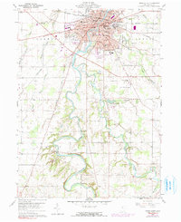
Tiffin dominates the northern edge of this map, appearing as a dense hub of civic and educational life at the start of the 1960s. The campus of Heidelberg College and several prominent schools, such as Columbian High Sch and Calvert High Sch, anchor the residential grid east of the Sandusky River. The river itself carves a deep, winding path southward through the townships of Hopewell, Clinton, Seneca, and Eden, its banks flanked by narrow bands of timber. Along the river's lower bends, the landscape transitions to a mix of rural agriculture and essential social institutions, including the County Home and the County Childrens Center.
Find a feature on this map
54 named features on this map. Tap any name to fly to it.
Don’t see what you’re looking for? This feature index may not catch every label — zoom into the map to look around manually.
Map Details
Editions of this 1960 Tiffin South Map
Other maps of this area

1901 · Fostoria
USGS Topo · 1:62,500

1903 · Fostoria
USGS Topo · 1:62,500

1906 · Sycamore
USGS Topo · 1:62,500

1906 · Tiffin
USGS Topo · 1:62,500

1907 · Upper Sandusky
USGS Topo · 1:62,500

1950 · Marion
USGS Topo · 1:250,000

1956 · Toledo
USGS Topo · 1:250,000

1960 · Sycamore
USGS Topo · 1:24,000
1960 · Watson
USGS Topo · 1:24,000
1960 · Bascom
USGS Topo · 1:24,000