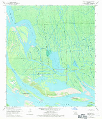
1969 Map of Tiger Island
USGS Topo · Published 1971About this map
The Atchafalaya Basin Floodway dominates this landscape in the late 1960s, revealing an intricate network of waterways where the ST Martin Parish and ST Mary Parish lines intersect. Industrial development is evident through a central Oil and Gas Field and a series of pumping stations that suggest the intensive resource extraction typical of the era. The terrain is characterized by complex hydrology, with Duck Lake and Grand Lake connected by a maze of bayous including Little Bayou Chene and Big Bayou Chene. Extensive spoil areas along Cypress Island Pass and the southern reaches of Tiger Island indicate significant dredging and channel maintenance during this period. Local place names like Gray Horse Isle and Fisher Island provide a glimpse into the specific nomenclature of the Louisiana wetlands before further contemporary changes to the deltaic environment.
Find a feature on this map
46 named features on this map. Tap any name to fly to it.
Don’t see what you’re looking for? This feature index may not catch every label — zoom into the map to look around manually.
Map Details
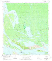
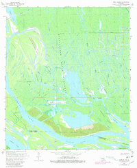
Editions of this 1969 Tiger Island Map
3 editions found
Other maps of this area

1935 · Morgan City
USGS Topo · 1:62,500

1941 · Belle Isle
USGS Topo · 1:62,500

1945 · New Orleans
USGS Topo · 1:250,000

1948 · Foster
USGS Topo · 1:62,500

1953 · Napoleonville
USGS Topo · 1:62,500

1954 · Morgan City
USGS Topo · 1:62,500

1954 · Belle Isle
USGS Topo · 1:62,500

1959 · Foster
USGS Topo · 1:62,500

1963 · New Orleans
USGS Topo · 1:250,000

1966 · New Orleans
USGS Topo · 1:250,000