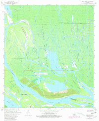
1969 Map of Tiger Island
USGS Topo · Published 1981About this map
The Atchafalaya Basin Floodway dominates this landscape of the late 1960s, where the intricate hydrology of the Louisiana delta is captured in high detail. This map illustrates a complex network of waterways, including Cypress Pass and Sixmile Lake, which surround significant landforms like Tiger Island and American Island. The presence of the Duck Lake Oil and Gas Field indicates the industrial footprint within this wetland environment, characterized by numerous canals and pipelines that cut through the marsh. Protective conservation efforts are visible in the Attakapas Island State Wildlife Management Area, showing the balance between resource extraction and habitat preservation. Geographers and local historians can trace the seasonal and navigational significance of water bodies such as Duck Lake and the various bayous named for months of the year, including March Bayou and April Bayou.
Find a feature on this map
42 named features on this map. Tap any name to fly to it.
Don’t see what you’re looking for? This feature index may not catch every label — zoom into the map to look around manually.
Map Details
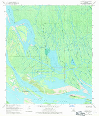
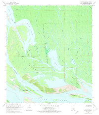
Editions of this 1969 Tiger Island Map
3 editions found
Other maps of this area

1935 · Morgan City
USGS Topo · 1:62,500

1941 · Belle Isle
USGS Topo · 1:62,500

1945 · New Orleans
USGS Topo · 1:250,000

1948 · Foster
USGS Topo · 1:62,500

1953 · Napoleonville
USGS Topo · 1:62,500

1954 · Morgan City
USGS Topo · 1:62,500

1954 · Belle Isle
USGS Topo · 1:62,500

1959 · Foster
USGS Topo · 1:62,500

1963 · New Orleans
USGS Topo · 1:250,000

1966 · New Orleans
USGS Topo · 1:250,000