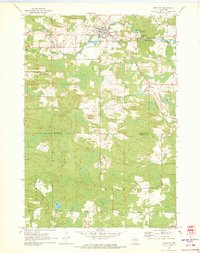
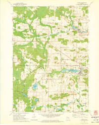
1970 Map of Tigerton
USGS Topo · Published 1973About this map
Tigerton serves as the primary hub of this northern Wisconsin landscape, where the South Branch Embarrass River winds through the village and expands into Tigerton Pond. The settlement pattern reflects a reliance on both water and rail, with the Chicago and North Western line cutting through the terrain. Evidence of the local timber and agricultural economy is visible in the network of family-named corridors such as Kastner Road and Meisner Road, while the high point at the Tigerton Lookout Tower provides a structural landmark overlooking the township. To the southeast, the village of Split Rock and the shores of Kersten Lake offer distinct points of interest for genealogists tracing families in the townships of Fairbanks and Wyoming. A preserved Old Railroad Grade and the scenic Tigerton Dells suggest the early industrial and recreational character of the Shawano and Waupaca county line.
Find a feature on this map
37 named features on this map. Tap any name to fly to it.
Don’t see what you’re looking for? This feature index may not catch every label — zoom into the map to look around manually.
Map Details
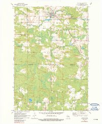
Editions of this 1970 Tigerton Map
2 editions found
Other maps of this area

1954 · Wittenberg
USGS Topo · 1:48,000

1954 · Gresham
USGS Topo · 1:48,000

1955 · Clintonville
USGS Topo · 1:48,000

1955 · Tigerton
USGS Topo · 1:48,000

1955 · Green Bay
USGS Topo · 1:250,000

1964 · Wittenberg
USGS Topo · 1:62,500

1964 · Gresham
USGS Topo · 1:62,500
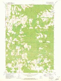
1970 · Tigerton NW
USGS Topo · 1:24,000
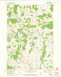
1970 · Symco
USGS Topo · 1:24,000
1970 · Marion
USGS Topo · 1:24,000