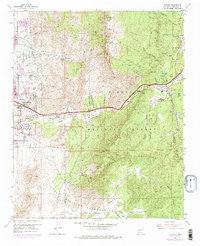
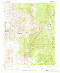
1961 Map of Tijeras
USGS Topo · Published 1975About this map
Tijeras Canyon Road and U.S. 66 serve as the primary conduits through this mountainous corridor east of Albuquerque in the early 1970s. The settlement pattern follows the geography of the Tijeras Canyon, with clusters of activity at Carnuel, Tijeras, and Montoya. Local religious and civic life is anchored by the Santo Niño Ch and the Sandia Ranger Sta.
Find a feature on this map
37 named features on this map. Tap any name to fly to it.
Don’t see what you’re looking for? This feature index may not catch every label — zoom into the map to look around manually.
Map Details
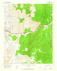
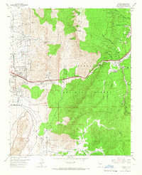
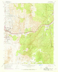
Editions of this 1961 Tijeras Map
5 editions found
Other maps of this area

1888 · Bernalillo
USGS Topo · 1:125,000

1889 · Albuquerque
USGS Topo · 1:125,000

1892 · San Pedro
USGS Topo · 1:125,000

1893 · Albuquerque
USGS Topo · 1:125,000

1917 · Estancia
USGS Topo · 1:125,000

1934 · Alameda
USGS Topo · 1:24,000

1934 · East Albuquerque
USGS Topo · 1:24,000

1938 · Albuquerque
USGS Topo · 1:62,500

1952 · Hubbell Spring
USGS Topo · 1:24,000

1954 · Sandia Crest
USGS Topo · 1:24,000
Featured Places
- Albuquerque, NM
- Cedar Crest, NM
- Tijeras, NM
- Vista Del Mundo, Albuquerque
- Winterwood Park (HOA), Albuquerque