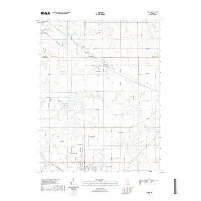
2021 Map of Tilden
USGS Topo · Published 2021About this map
Sparta and Tilden anchor this southern Illinois landscape where the borders of St. Clair, Washington, and Randolph counties converge. The terrain is characterized by the broad reaches of Flat Prairie and a network of drainage including Plum Cr and the Marys River. Transportation and industry define the local geography, with the S Railroad St corridor in Marissa and several private airfields, including the Herschel Hunter Airport and the Sparta Community Airport- Hunter Field.
Find a feature on this map
101 named features on this map. Tap any name to fly to it.
Don’t see what you’re looking for? This feature index may not catch every label — zoom into the map to look around manually.
Map Details
Editions of this 2021 Tilden Map
This is the sole edition of this map. No revisions or reprints were ever made.
Other maps of this area

1910 · Okawville
USGS Topo · 1:62,500

1912 · New Athens
USGS Topo · 1:62,500

1912 · Baldwin
USGS Topo · 1:62,500

1914 · Baldwin
USGS Topo · 1:62,500

1914 · Coulterville
USGS Topo · 1:62,500

1917 · Coulterville
USGS Topo · 1:62,500

1940 · Okawville
USGS Topo · 1:62,500

1942 · Baldwin
USGS Topo · 1:62,500
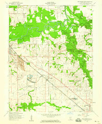
1954 · New Athens East
USGS Topo · 1:24,000
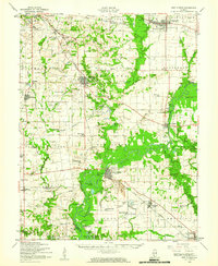
1954 · New Athens
USGS Topo · 1:62,500