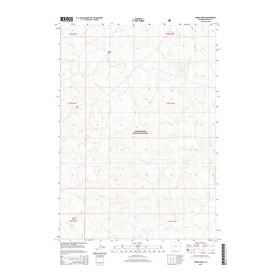
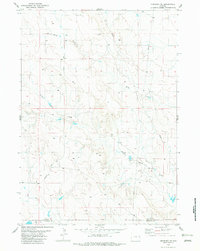
2015 Map of Timber Creek
USGS Topo · Published 2015About this map
Thunder Basin National Grassland encompasses this portion of the high plains in eastern Wyoming, characterized by a complex drainage network that defines the local topography. Water sources are primarily intermittent, including Timber Cr, Beaver Cr, and Rough Cr, which carve through the arid terrain. The landscape is marked by distinctive geological features such as Alkali Butte and numerous named draws, including Coyote Draw and Finn Draw.
Find a feature on this map
18 named features on this map. Tap any name to fly to it.
Don’t see what you’re looking for? This feature index may not catch every label — zoom into the map to look around manually.
Map Details
Editions of this 2015 Timber Creek Map
This is the sole edition of this map. No revisions or reprints were ever made.
Other maps of this area
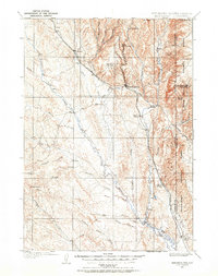
1899 · Newcastle
USGS Topo · 1:125,000
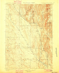
1901 · Newcastle
USGS Topo · 1:125,000
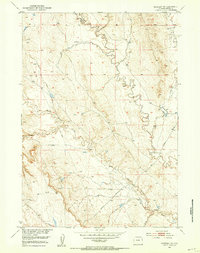
1951 · Morrisey NE
USGS Topo · 1:24,000
1951 · Osage SE
USGS Topo · 1:24,000

1955 · Newcastle
USGS Topo · 1:250,000

1958 · Newcastle
USGS Topo · 1:250,000
1972 · Klodt Reservoir
USGS Topo · 1:24,000
1979 · Newcastle
USGS Topo · 1:100,000
1982 · Morrisey
USGS Topo · 1:24,000
1982 · Morrisey SE
USGS Topo · 1:24,000