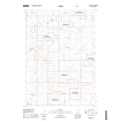
2017 Map of Timber Creek
USGS Topo · Published 2017About this map
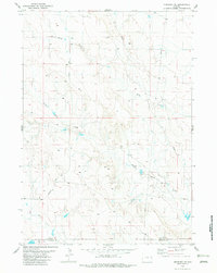
Thunder Basin National Grassland dominates the landscape of this high plains region in Weston County, showing a complex checkerboard of public and private land ownership. The terrain is defined by a dense network of seasonal drainages and draws that carve through the prairie, including Coyote Draw and Finn Draw. At the southern end of the sheet, the prominent Alkali Butte rises above the surrounding flats near Alkali Creek. The map documents a sparse, open territory where water is the primary geographic driver, tracing the meandering paths of South Beaver Creek and Timber Creek across the arid environment. While largely devoid of concentrated settlements, the intricate boundary lines and topographical details illustrate the ranching and grazing character of this portion of eastern Wyoming in the early 21st century.
Find a feature on this map
19 named features on this map. Tap any name to fly to it.
Don’t see what you’re looking for? This feature index may not catch every label — zoom into the map to look around manually.
Map Details
Editions of this 2017 Timber Creek Map
This is the sole edition of this map. No revisions or reprints were ever made.
Other maps of this area
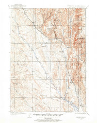
1899 · Newcastle
USGS Topo · 1:125,000
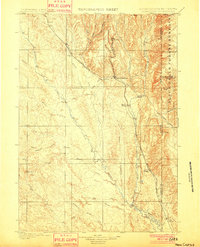
1901 · Newcastle
USGS Topo · 1:125,000
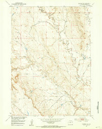
1951 · Morrisey NE
USGS Topo · 1:24,000
1951 · Osage SE
USGS Topo · 1:24,000

1955 · Newcastle
USGS Topo · 1:250,000

1958 · Newcastle
USGS Topo · 1:250,000
1972 · Klodt Reservoir
USGS Topo · 1:24,000
1979 · Newcastle
USGS Topo · 1:100,000
1982 · Morrisey
USGS Topo · 1:24,000
1982 · Morrisey SE
USGS Topo · 1:24,000