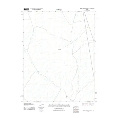
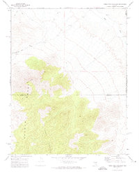
2012 Map of Timber Mountain Pass NE
USGS Topo · Published 2012About this map
The White River carves a path through the high desert of Nye County, tracing a course that eventually leads to the White River Sink. This 2012 survey illustrates a landscape defined by dramatic elevation changes between the Gap Mountains in the north and the prominent heights of Fox Mountain to the south. The drainage patterns on this map provide a clear picture of the hydrologic cycles in this part of Nevada, showing how seasonal or periodic water flow is channeled toward the sink. While the area remains largely undeveloped, the road networks shown by the U.S. Geological Survey indicate the connectivity between these remote mountain passes and the broader regional topography.
Find a feature on this map
4 named features on this map. Tap any name to fly to it.
Don’t see what you’re looking for? This feature index may not catch every label — zoom into the map to look around manually.
Map Details
Editions of this 2012 Timber Mountain Pass NE Map
This is the sole edition of this map. No revisions or reprints were ever made.
Other maps of this area

1956 · Lund
USGS Topo · 1:250,000

1960 · Lund
USGS Topo · 1:250,000
1969 · Gap Mountain
USGS Topo · 1:24,000
1969 · Hot Creek Butte
USGS Topo · 1:24,000
1971 · Silver King Mtn SW
USGS Topo · 1:24,000
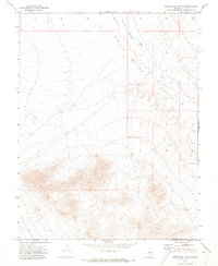
1971 · Timber Mtn Pass NW
USGS Topo · 1:24,000
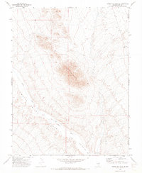
1971 · Timber Mtn Pass NE
USGS Topo · 1:24,000
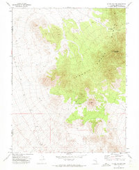
1971 · Silver King Mtn
USGS Topo · 1:24,000
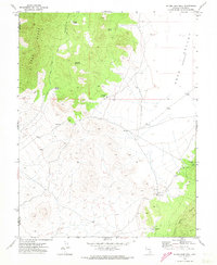
1971 · Silver King Well
USGS Topo · 1:24,000
1971 · Timber Mtn Pass East
USGS Topo · 1:24,000