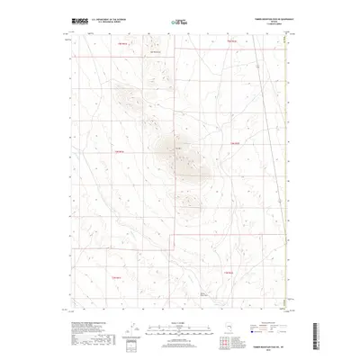
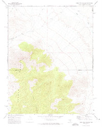
2018 Map of Timber Mountain Pass NE
USGS Topo · Published 2018About this map
White River drainage patterns define this arid corner of Nye County, Nevada, during the late twenty-first century. The landscape is dominated by the prominence of Fox Mtn and the northern reaches of the Gap Mountains, which rise between the valley floors. A significant hydrological feature is the White River Sink in the southern portion of the quadrangle, where the river's course terminates into the basin floor. The map highlights the Public Land Survey System grid across several townships, including t5n r61e and t4n r62e, illustrating the division of this high-desert territory. The lack of established settlements or major transit corridors underscores the secluded nature of this basin-and-range environment.
Find a feature on this map
11 named features on this map. Tap any name to fly to it.
Don’t see what you’re looking for? This feature index may not catch every label — zoom into the map to look around manually.
Map Details
Editions of this 2018 Timber Mountain Pass NE Map
This is the sole edition of this map. No revisions or reprints were ever made.
Other maps of this area

1956 · Lund
USGS Topo · 1:250,000

1960 · Lund
USGS Topo · 1:250,000
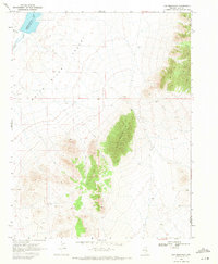
1969 · Gap Mountain
USGS Topo · 1:24,000
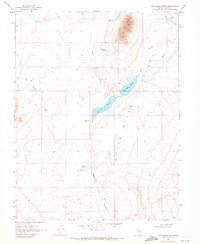
1969 · Hot Creek Butte
USGS Topo · 1:24,000
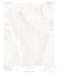
1971 · Silver King Mtn SW
USGS Topo · 1:24,000
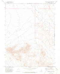
1971 · Timber Mtn Pass NW
USGS Topo · 1:24,000
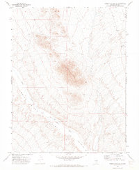
1971 · Timber Mtn Pass NE
USGS Topo · 1:24,000
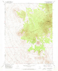
1971 · Silver King Mtn
USGS Topo · 1:24,000
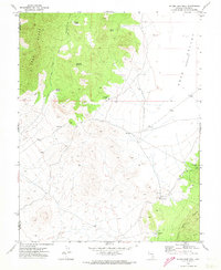
1971 · Silver King Well
USGS Topo · 1:24,000
1971 · Timber Mtn Pass East
USGS Topo · 1:24,000