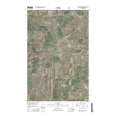
2014 Map of Timber Prong Creek
USGS Topo · Published 2014About this map
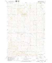
Little Missouri National Grassland encompasses the eastern half of this McKenzie County landscape, where the high plains are dissected by a network of seasonal watercourses. The drainage of Tobacco Garden Creek dominates the central terrain, while the southeastern corner is defined by the winding path of Timber Prong Creek. This 2014 survey reveals a transition from open prairie to the dramatic breaks of the Porcupine Coulee system. The map documents the modern grid of county roads and section lines, such as 40th St NW and Co Rd 10, which overlay the expansive ranching and grazing lands of western North Dakota.
Find a feature on this map
20 named features on this map. Tap any name to fly to it.
Don’t see what you’re looking for? This feature index may not catch every label — zoom into the map to look around manually.
Map Details
Editions of this 2014 Timber Prong Creek Map
This is the sole edition of this map. No revisions or reprints were ever made.
Other maps of this area
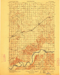
1911 · Ray
USGS Topo · 1:125,000

1953 · Williston
USGS Topo · 1:250,000
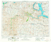
1953 · Watford City
USGS Topo · 1:250,000

1957 · Williston
USGS Topo · 1:250,000
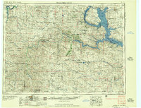
1957 · Watford City
USGS Topo · 1:250,000
1967 · Watford City
USGS Topo · 1:250,000
1978 · Tobacco Garden Bay
USGS Topo · 1:24,000
1978 · Schafer
USGS Topo · 1:24,000
1978 · Watford City NE
USGS Topo · 1:24,000
1978 · Schafer SE
USGS Topo · 1:24,000