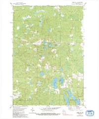
1979 Map of Timms Hill
USGS Topo · Published 1992About this map
Timms Hill, Wisconsin's highest natural point, anchors this topographical record of the Northwoods during the late 1970s. The landscape is defined by its glacial heritage, characterized by a dense concentration of kettle lakes and knobs. Named peaks like Pearson Hill and Spokes Hill rise above a complex network of waterways, including the interconnected basins of Timms Lake, Pearson Lake, and Bass Lake. The map reveals a sparsely populated region primarily utilized for recreation and resource extraction, with numerous Gravel Pits scattered near the Price and Taylor county line.
Find a feature on this map
40 named features on this map. Tap any name to fly to it.
Don’t see what you’re looking for? This feature index may not catch every label — zoom into the map to look around manually.
Map Details
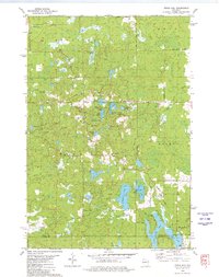
Editions of this 1979 Timms Hill Map
2 editions found
Other maps of this area

1941 · Phillips
USGS Topo · 1:48,000

1941 · Brantwood
USGS Topo · 1:48,000

1943 · Philliips
USGS Topo · 1:48,000

1943 · Brantwood
USGS Topo · 1:48,000

1944 · Ogema
USGS Topo · 1:48,000

1945 · Rib Lake
USGS Topo · 1:48,000

1947 · Rib Lake
USGS Topo · 1:48,000

1947 · Ogema
USGS Topo · 1:48,000

1949 · Ogema
USGS Topo · 1:48,000

1949 · Rib Lake
USGS Topo · 1:48,000