
1958 Map of Tinton
USGS Topo · Published 1960About this map
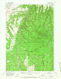
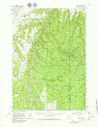
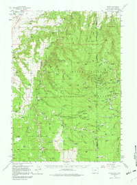
Tinton and Moskee anchor this detailed study of the Wyoming and South Dakota borderlands during the late 1950s. The landscape is defined by the heavy presence of the Black Hills National Forest, where a network of family-held properties like Hogge Ranch, Lincoln Ranch, and Jones Ranch populate the canyons and divides. This era shows a working wilderness characterized by numerous named springs and water sources, such as Balm of Gilead Spring and Cranberry Spring, which were essential for both livestock and early settlements. Unique historical markers like Lone Grave and the Riflepit near Bald Mtn suggest a deeper history of frontier movement and conflict. Geographically, the area is dissected by steep drainages including Red Canyon and Rattlesnake Canyon, with the Crook Co Lawrence Co line cutting through the center of this high-country terrain.
Find a feature on this map
122 named features on this map. Tap any name to fly to it.
Don’t see what you’re looking for? This feature index may not catch every label — zoom into the map to look around manually.
Map Details
Editions of this 1958 Tinton Map
4 editions found
Other maps of this area

1894 · Deadwood
USGS Topo · 1:125,000

1898 · Sundance
USGS Topo · 1:125,000

1900 · Spearfish
USGS Topo · 1:62,500

1901 · Deadwood
USGS Topo · 1:125,000

1901 · Aladdin
USGS Topo · 1:125,000

1902 · Sundance
USGS Topo · 1:125,000

1903 · Aladdin
USGS Topo · 1:125,000

1907 · Belle Fourche
USGS Topo · 1:125,000

1907 · Redwater
USGS Topo · 1:62,500

1915 · Spearfish
USGS Topo · 1:62,500