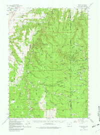
1958 Map of Tinton
USGS Topo · Published 1980About this map
The high plateaus and deep limestone canyons of the Black Hills National Forest define this landscape along the Wyoming and South Dakota border. Settlement in the late 1950s remained sparse, characterized by widely scattered homesteads and specialized industrial sites like the mining camp at Tinton. The area’s rugged geography is articulated through family-named landmarks such as Lytle Hill and H Reynolds Ranch, while early resource extraction is evident at the Mine Bonanza and various gravel pits.
Find a feature on this map
121 named features on this map. Tap any name to fly to it.
Don’t see what you’re looking for? This feature index may not catch every label — zoom into the map to look around manually.
Map Details
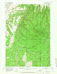
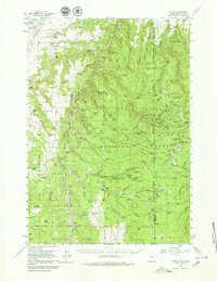
Editions of this 1958 Tinton Map
4 editions found

Other maps of this area

1894 · Deadwood
USGS Topo · 1:125,000

1898 · Sundance
USGS Topo · 1:125,000

1900 · Spearfish
USGS Topo · 1:62,500

1901 · Deadwood
USGS Topo · 1:125,000

1901 · Aladdin
USGS Topo · 1:125,000

1902 · Sundance
USGS Topo · 1:125,000

1903 · Aladdin
USGS Topo · 1:125,000

1907 · Belle Fourche
USGS Topo · 1:125,000

1907 · Redwater
USGS Topo · 1:62,500

1915 · Spearfish
USGS Topo · 1:62,500