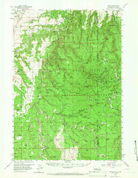
1958 Map of Tinton
USGS Topo · Published 1966About this map
Tinton and Moskee stand as the primary anchors of human activity in this mid-century survey of the high plateau country straddling the Wyoming South Dakota border. The landscape is defined by the heavy timber of the Black Hills National Forest, where steep drainages like Bear Gulch and Grand Canyon carve through the limestone and granite. A network of family-owned ranching operations, including Seely Ranch, Lincoln Ranch, and Lap Circle Ranch, points to a long-standing agricultural and grazing economy that persisted even as mining and forestry shaped the region's industry.
Find a feature on this map
72 named features on this map. Tap any name to fly to it.
Don’t see what you’re looking for? This feature index may not catch every label — zoom into the map to look around manually.
Map Details
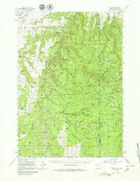
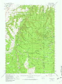
Editions of this 1958 Tinton Map
4 editions found

Other maps of this area

1894 · Deadwood
USGS Topo · 1:125,000

1898 · Sundance
USGS Topo · 1:125,000

1900 · Spearfish
USGS Topo · 1:62,500

1901 · Deadwood
USGS Topo · 1:125,000

1901 · Aladdin
USGS Topo · 1:125,000

1902 · Sundance
USGS Topo · 1:125,000

1903 · Aladdin
USGS Topo · 1:125,000

1907 · Belle Fourche
USGS Topo · 1:125,000

1907 · Redwater
USGS Topo · 1:62,500

1915 · Spearfish
USGS Topo · 1:62,500