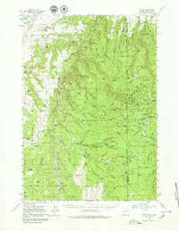
1958 Map of Tinton
USGS Topo · Published 1980About this map
The Black Hills National Forest straddles the high borderland between Wyoming and South Dakota, where the community of Tinton sits perched near the Crook and Lawrence county line. This late 1950s survey detail reveals a landscape defined by ranching and resource extraction, with numerous family operations like the Hegge Ranch, Lincoln Ranch, and Seely Ranch scattered throughout the canyons. The presence of the Tinton Cem and local schools suggests the endurance of these upland settlements despite the isolation of the terrain.
Find a feature on this map
129 named features on this map. Tap any name to fly to it.
Don’t see what you’re looking for? This feature index may not catch every label — zoom into the map to look around manually.
Map Details
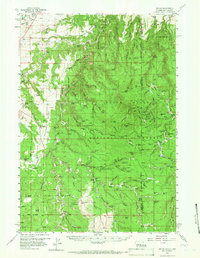
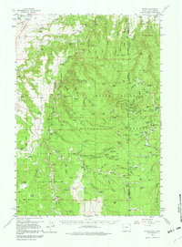
Editions of this 1958 Tinton Map
4 editions found

Other maps of this area

1894 · Deadwood
USGS Topo · 1:125,000

1898 · Sundance
USGS Topo · 1:125,000

1900 · Spearfish
USGS Topo · 1:62,500

1901 · Deadwood
USGS Topo · 1:125,000

1901 · Aladdin
USGS Topo · 1:125,000

1902 · Sundance
USGS Topo · 1:125,000

1903 · Aladdin
USGS Topo · 1:125,000

1907 · Belle Fourche
USGS Topo · 1:125,000

1907 · Redwater
USGS Topo · 1:62,500

1915 · Spearfish
USGS Topo · 1:62,500