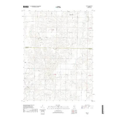
2018 Map of Tioga
USGS Topo · Published 2018About this map
The rolling agricultural landscapes of Hancock Co and Adams Co meet in this survey, where the small community of Tioga and the nearby village of Lima anchor a network of rural roads. The area is defined by the winding course of Bear Creek and its many tributaries, including South Fork Bear Creek and Lick Br, which carve deep drainage patterns into the terrain. Genealogy researchers will find several local burial grounds including West Tioga Cem, Bethany Cem, and the more isolated Karnes Cem near the center of the sheet. To the north, the settlement of Breckenridge sits near Buckeye Cem, while Camp Saukenauk Lake provides a notable point of interest along E 1000th St. This 2018 edition reveals how modern county road designations like N 3000th Ave have formalized the historic transit routes between these Illinois farming communities.
Find a feature on this map
69 named features on this map. Tap any name to fly to it.
Don’t see what you’re looking for? This feature index may not catch every label — zoom into the map to look around manually.
Map Details
Editions of this 2018 Tioga Map
This is the sole edition of this map. No revisions or reprints were ever made.
Other maps of this area
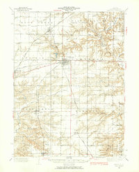
1933 · Carthage
USGS Topo · 1:62,500
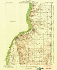
1936 · Keokuk
USGS Topo · 1:62,500
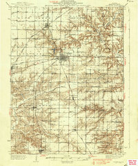
1937 · Carthage
USGS Topo · 1:62,500
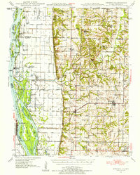
1946 · Mendon
USGS Topo · 1:62,500
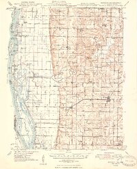
1948 · Mendon
USGS Topo · 1:62,500
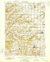
1948 · Camp Point
USGS Topo · 1:62,500
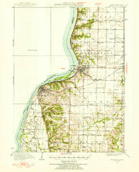
1950 · Keokuk
USGS Topo · 1:62,500
1958 · Burlington
USGS Topo · 1:250,000
1961 · Burlington
USGS Topo · 1:250,000
1963 · Burlington
USGS Topo · 1:250,000