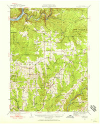
1922 Map of Tionesta
USGS Topo · Published 1958About this map
The Allegheny River and Clarion River define this corner of Pennsylvania during the early 1920s, a period when the timber and industrial heritage of the region was transitioning into conserved lands like the Allegheny National Forest. The landscape is densely marked with the remnants of late-19th-century rural life, specifically through an exceptional density of country schools such as Oldtown School, Smoky Hill School, and the Highland Township High School.
Find a feature on this map
93 named features on this map. Tap any name to fly to it.
Don’t see what you’re looking for? This feature index may not catch every label — zoom into the map to look around manually.
Map Details
Editions of this 1922 Tionesta Map
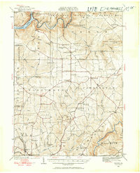
Other maps of this area

1906 · Clarion
USGS Topo · 1:62,500

1907 · Clarion
USGS Topo · 1:62,500

1907 · Foxburg
USGS Topo · 1:62,500

1908 · Foxburg
USGS Topo · 1:62,500

1918 · Loleta
USGS Topo · 1:62,500

1922 · Oil City
USGS Topo · 1:48,000

1922 · Tionesta
USGS Topo · 1:62,500

1924 · Oil City
USGS Topo · 1:62,500

1924 · Tionesta
USGS Topo · 1:62,500

1924 · Brookville
USGS Topo · 1:62,500