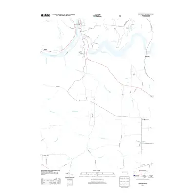
2013 Map of Tionesta
USGS Topo · Published 2013About this map
Tionesta serves as the focal point of this Forest County landscape, situated at the confluence of the Allegheny River and Tionesta Lk. The township's civic heart is marked by the Forest County War Memorial and a grid of residential streets including Vine St and S Elm St. The map illustrates a rural settlement pattern defined by creek-side hamlets and intersections, such as the small village of Nebraska and the crossroads at Wolfs Corners.
Find a feature on this map
112 named features on this map. Tap any name to fly to it.
Don’t see what you’re looking for? This feature index may not catch every label — zoom into the map to look around manually.
Map Details
Editions of this 2013 Tionesta Map
This is the sole edition of this map. No revisions or reprints were ever made.
Other maps of this area

1922 · Oil City
USGS Topo · 1:48,000

1922 · Tionesta
USGS Topo · 1:62,500

1924 · Oil City
USGS Topo · 1:62,500

1924 · Tionesta
USGS Topo · 1:62,500

1927 · Tidioute
USGS Topo · 1:48,000

1927 · Titusville
USGS Topo · 1:62,500

1930 · Tidioute
USGS Topo · 1:62,500

1933 · Titusville
USGS Topo · 1:62,500

1943 · Oil City
USGS Topo · 1:62,500

1946 · Tionesta
USGS Topo · 1:62,500