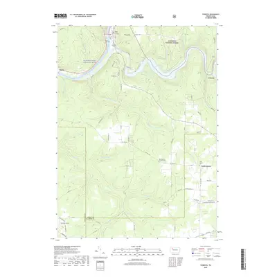
2019 Map of Tionesta
USGS Topo · Published 2019About this map
Tionesta serves as the focal point of this Forest County study, situated at the confluence of the Allegheny River and Tionesta Creek. The town is anchored by the Forest County Courthouse and a cluster of historic burial sites, including Mount Collins Cem and the Old Methodist Cem. The landscape to the east is defined by the Tionesta Lake reservoir and the protected boundaries of the Allegheny National Forest. South of the borough, the terrain transitions into a patchwork of rural holdings and small settlements like Wolfs Corners. Notable infrastructure includes McCauley's Airport near the border of Venango County, while several cemeteries, such as Washington Cem and Mount Zion Community Cem, indicate long-standing community centers. The map illustrates the region's character as a mix of river-valley development and vast public timberlands.
Find a feature on this map
81 named features on this map. Tap any name to fly to it.
Don’t see what you’re looking for? This feature index may not catch every label — zoom into the map to look around manually.
Map Details
Editions of this 2019 Tionesta Map
This is the sole edition of this map. No revisions or reprints were ever made.
Other maps of this area

1922 · Oil City
USGS Topo · 1:48,000

1922 · Tionesta
USGS Topo · 1:62,500

1924 · Oil City
USGS Topo · 1:62,500

1924 · Tionesta
USGS Topo · 1:62,500

1927 · Tidioute
USGS Topo · 1:48,000

1927 · Titusville
USGS Topo · 1:62,500

1930 · Tidioute
USGS Topo · 1:62,500

1933 · Titusville
USGS Topo · 1:62,500

1943 · Oil City
USGS Topo · 1:62,500

1946 · Tionesta
USGS Topo · 1:62,500