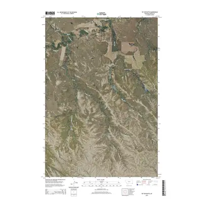
2014 Map of Tip Top Butte
USGS Topo · Published 2014About this map
Tip Top Butte rises above the drainage networks of southeastern Montana, serving as a central landmark in this 2014 study of Carter County. The terrain is defined by a series of distinct geological formations, including Twin Buttes, the expansive Flattops, and the descriptive Dead Horse Point to the southeast. This landscape is deeply carved by a complex system of seasonal and perennial waterways such as Boxelder Cr, Clear Fork, and Hay Cr, which dictate the movement across this open country.
Find a feature on this map
22 named features on this map. Tap any name to fly to it.
Don’t see what you’re looking for? This feature index may not catch every label — zoom into the map to look around manually.
Map Details
Editions of this 2014 Tip Top Butte Map
This is the sole edition of this map. No revisions or reprints were ever made.
Other maps of this area

1954 · Ekalaka
USGS Topo · 1:250,000

1956 · Ekalaka
USGS Topo · 1:250,000

1958 · Ekalaka
USGS Topo · 1:250,000

1965 · Ekalaka
USGS Topo · 1:250,000
1970 · Greasy Hill
USGS Topo · 1:24,000
1981 · Alzada
USGS Topo · 1:100,000
1982 · Black Point NE
USGS Topo · 1:24,000
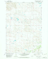
1982 · Whitetail Creek
USGS Topo · 1:24,000
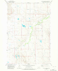
1982 · Phillippi Reservoir
USGS Topo · 1:24,000
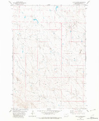
1982 · Potato Buttes
USGS Topo · 1:24,000