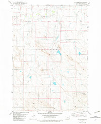
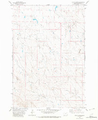
1982 Map of Tip Top Butte
USGS Topo · Published 1982About this map
Tip Top Butte rises as a central landmark in this high plains landscape of Carter County, Montana. The topography is defined by the broad, plateau-like Flat Tops and distinctive overlooks such as Wolf Point and Dead Horse Point. A complex network of drainage systems, including Boxelder Creek, Clear Creek, and Deep Creek, has carved the terrain into a series of ridges and valleys. While the area is largely characterized by this natural relief, the presence of a long-distance Pipeline cutting through the center of the sheet indicates the modern industrial infrastructure overlaying the traditional cattle-grazing country. The map captures a moment of transition where the physical geography remains dominant, but utility corridors begin to bisect the long-standing land divisions and township boundaries.
Find a feature on this map
16 named features on this map. Tap any name to fly to it.
Don’t see what you’re looking for? This feature index may not catch every label — zoom into the map to look around manually.
Map Details
Editions of this 1982 Tip Top Butte Map
This is the sole edition of this map. No revisions or reprints were ever made.
Other maps of this area

1954 · Ekalaka
USGS Topo · 1:250,000

1956 · Ekalaka
USGS Topo · 1:250,000

1958 · Ekalaka
USGS Topo · 1:250,000

1965 · Ekalaka
USGS Topo · 1:250,000
1970 · Greasy Hill
USGS Topo · 1:24,000

1981 · Alzada
USGS Topo · 1:100,000
1982 · Black Point NE
USGS Topo · 1:24,000
1982 · Whitetail Creek
USGS Topo · 1:24,000

1982 · Phillippi Reservoir
USGS Topo · 1:24,000
1982 · Potato Buttes
USGS Topo · 1:24,000