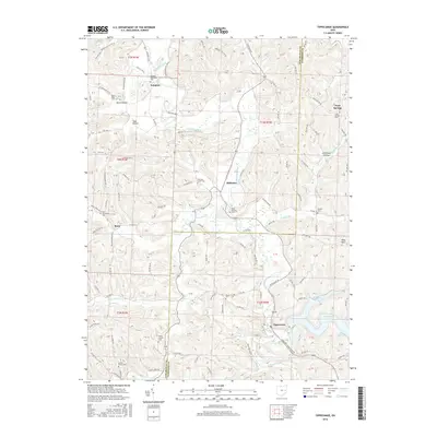
2016 Map of Tippecanoe
USGS Topo · Published 2016About this map
Stillwater Creek meanders through this portion of eastern Ohio, defining a landscape marked by small rural hamlets and numerous family and community burial grounds. The settlement of Tippecanoe sits near the southern edge of the map, situated at the junction of local roads and the creek, while to the north, places like Newport and Stillwater anchor the valley. The topography is deeply dissected, creating distinct hollows such as Toad Hollow and Utterback Hollow.
Find a feature on this map
109 named features on this map. Tap any name to fly to it.
Don’t see what you’re looking for? This feature index may not catch every label — zoom into the map to look around manually.
Map Details
Editions of this 2016 Tippecanoe Map
This is the sole edition of this map. No revisions or reprints were ever made.
Other maps of this area

1902 · Scio
USGS Topo · 1:62,500

1903 · Flushing
USGS Topo · 1:62,500

1904 · Scio
USGS Topo · 1:62,500

1905 · Flushing
USGS Topo · 1:62,500

1909 · Antrim
USGS Topo · 1:48,000

1909 · Uhrichsville
USGS Topo · 1:62,500

1911 · Antrim
USGS Topo · 1:62,500

1911 · Uhrichsville
USGS Topo · 1:62,500

1951 · Canton
USGS Topo · 1:250,000

1953 · Canton
USGS Topo · 1:250,000