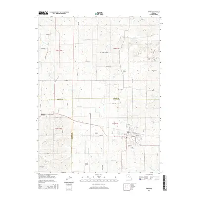
2015 Map of Tipton
USGS Topo · Published 2015About this map
Tipton and Syracuse anchor this central Missouri landscape where three counties — Cooper, Morgan, and Moniteau — converge. The map shows a region defined by its creek valleys and a dense network of family-named roads like Nelson Farm Rd and Klein Farm Rd. The topography is marked by significant waterways, including Petite Saline Cr and Moniteau Cr, which drain the rolling terrain between the settlements.
Find a feature on this map
74 named features on this map. Tap any name to fly to it.
Don’t see what you’re looking for? This feature index may not catch every label — zoom into the map to look around manually.
Map Details
Editions of this 2015 Tipton Map
This is the sole edition of this map. No revisions or reprints were ever made.
Other maps of this area
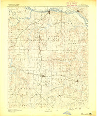
1888 · Boonville
USGS Topo · 1:125,000
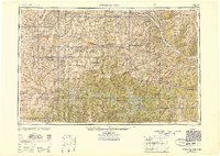
1947 · Jefferson City
USGS Topo · 1:250,000
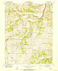
1951 · Latham
USGS Topo · 1:24,000
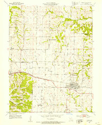
1952 · Tipton
USGS Topo · 1:24,000
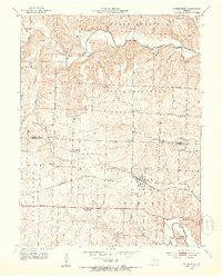
1952 · Clarksburg
USGS Topo · 1:24,000
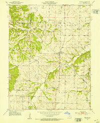
1952 · Fortuna
USGS Topo · 1:24,000
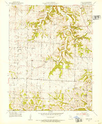
1952 · Lone Elm
USGS Topo · 1:24,000
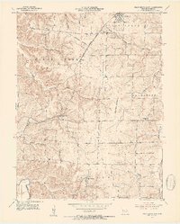
1953 · Pilot Grove South
USGS Topo · 1:24,000
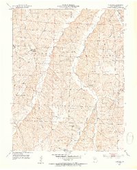
1953 · Florence
USGS Topo · 1:24,000
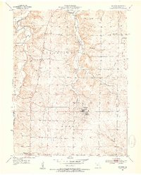
1953 · Bunceton
USGS Topo · 1:24,000