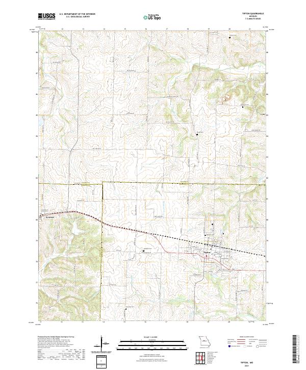
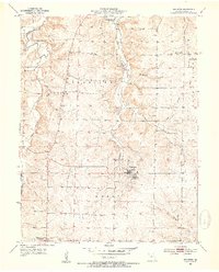
2021 Map of Tipton
USGS Topo · Published 2021About this map
Tipton and Syracuse anchor this central Missouri landscape, where the convergence of Moniteau, Morgan, and Cooper counties creates a complex grid of rural agricultural land and small-town infrastructure. The terrain is defined by a dense network of watercourses, including the Willow Fork, Moniteau Cr, and Petite Saline Cr, which have influenced the placement of longstanding family farmsteads and transport routes.
Find a feature on this map
80 named features on this map. Tap any name to fly to it.
Don’t see what you’re looking for? This feature index may not catch every label — zoom into the map to look around manually.
Map Details
Editions of this 2021 Tipton Map
This is the sole edition of this map. No revisions or reprints were ever made.
Other maps of this area

1888 · Boonville
USGS Topo · 1:125,000

1947 · Jefferson City
USGS Topo · 1:250,000

1951 · Latham
USGS Topo · 1:24,000

1952 · Tipton
USGS Topo · 1:24,000
1952 · Clarksburg
USGS Topo · 1:24,000
1952 · Fortuna
USGS Topo · 1:24,000

1952 · Lone Elm
USGS Topo · 1:24,000

1953 · Pilot Grove South
USGS Topo · 1:24,000
1953 · Florence
USGS Topo · 1:24,000
1953 · Bunceton
USGS Topo · 1:24,000