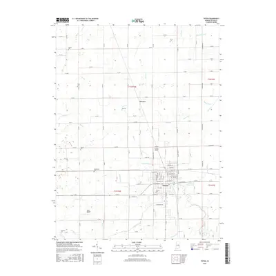
2016 Map of Tipton
USGS Topo · Published 2016About this map
Tipton serves as the central hub of this agricultural landscape, where the town's street grid meets an extensive network of water management features. The surrounding countryside is defined by its drainage history, with numerous named channels like Ross Ditch, Pole Ditch, and O'Malley Ditch supporting the productive Tipton County farmland. These man-made and natural waterways, including Cicero Creek, converge toward the southern part of the map near Fairview Cemetery.
Find a feature on this map
85 named features on this map. Tap any name to fly to it.
Don’t see what you’re looking for? This feature index may not catch every label — zoom into the map to look around manually.
Map Details
Editions of this 2016 Tipton Map
This is the sole edition of this map. No revisions or reprints were ever made.
Other maps of this area

1953 · Danville
USGS Topo · 1:250,000

1953 · Muncie
USGS Topo · 1:250,000

1955 · Danville
USGS Topo · 1:250,000

1956 · Muncie
USGS Topo · 1:250,000

1956 · Danville
USGS Topo · 1:250,000

1960 · Kokomo West
USGS Topo · 1:24,000

1960 · Kokomo East
USGS Topo · 1:24,000

1960 · Kempton
USGS Topo · 1:24,000

1960 · Tipton
USGS Topo · 1:24,000

1960 · Windfall
USGS Topo · 1:24,000