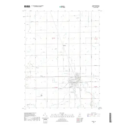
2019 Map of Tipton
USGS Topo · Published 2019About this map
The county seat of Tipton serves as the central hub for this corner of Indiana, where a grid of rural roads and drainage infrastructure defines the agricultural landscape. The town is surrounded by a network of waterways including Cicero Creek, Buck Cr, and Turkey Cr, while several ditches such as Leavell Ditch and Campbell Ditch illustrate the long-term efforts to manage the local water table for farming. Outside the primary settlement, the small community of Jacksons and the Baird-Wolford Airport stand as distinct landmarks. For genealogists, the map is particularly rich in family history sites, preserving the locations of numerous burial grounds across the townships, including Fairview Cem, Turner Cem, Jackson Cem, and the Moldentown Cem. This survey provides a precise record of these rural sites as they persisted into the late 2010s.
Find a feature on this map
86 named features on this map. Tap any name to fly to it.
Don’t see what you’re looking for? This feature index may not catch every label — zoom into the map to look around manually.
Map Details
Editions of this 2019 Tipton Map
This is the sole edition of this map. No revisions or reprints were ever made.
Other maps of this area

1953 · Danville
USGS Topo · 1:250,000

1953 · Muncie
USGS Topo · 1:250,000

1955 · Danville
USGS Topo · 1:250,000

1956 · Muncie
USGS Topo · 1:250,000

1956 · Danville
USGS Topo · 1:250,000

1960 · Kokomo West
USGS Topo · 1:24,000

1960 · Kokomo East
USGS Topo · 1:24,000

1960 · Kempton
USGS Topo · 1:24,000

1960 · Tipton
USGS Topo · 1:24,000

1960 · Windfall
USGS Topo · 1:24,000