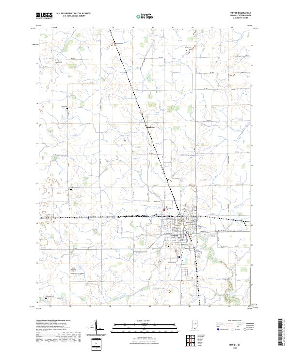
2022 Map of Tipton
USGS Topo · Published 2022About this map
Tipton serves as the regional hub of this Indiana landscape, centered around the Tipton County Courthouse and a dense grid of residential and commercial streets. The surrounding territory is defined by an intricate network of agricultural drainage systems, including Leavell Ditch, Campbell Ditch, and Ross Ditch, which channel water toward larger natural watercourses like Cicero Creek and Turkey Cr. This highly engineered environment reflects the region's deep ties to commercial farming and land management. Small family and community landmarks are scattered across the rural sections, from the settlement of Jacksons to several namesake burial grounds such as Goar Cem and Stewart Cem. The presence of the Baird-Wolford Airport southwest of the city center highlights the modern transportation infrastructure overlaying this traditional agricultural heartland.
Find a feature on this map
83 named features on this map. Tap any name to fly to it.
Don’t see what you’re looking for? This feature index may not catch every label — zoom into the map to look around manually.
Map Details
Editions of this 2022 Tipton Map
This is the sole edition of this map. No revisions or reprints were ever made.
Other maps of this area

1953 · Danville
USGS Topo · 1:250,000

1953 · Muncie
USGS Topo · 1:250,000

1955 · Danville
USGS Topo · 1:250,000

1956 · Muncie
USGS Topo · 1:250,000

1956 · Danville
USGS Topo · 1:250,000

1960 · Kokomo West
USGS Topo · 1:24,000

1960 · Kokomo East
USGS Topo · 1:24,000

1960 · Kempton
USGS Topo · 1:24,000

1960 · Tipton
USGS Topo · 1:24,000

1960 · Windfall
USGS Topo · 1:24,000