Loading...
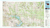
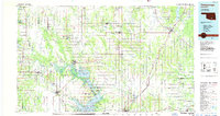
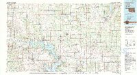
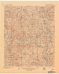
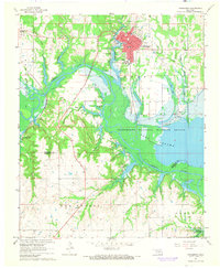
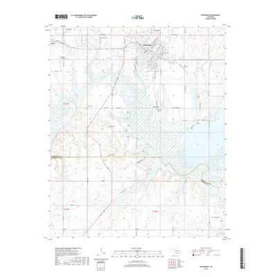
Loading map...1985 Map of Tishomingo
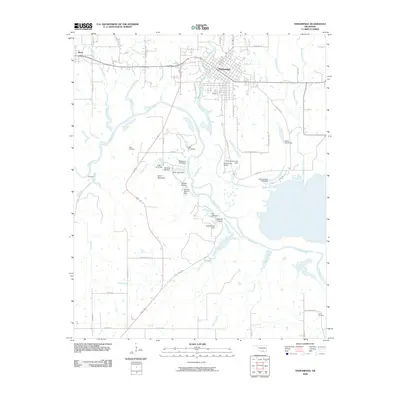
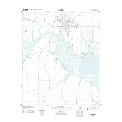
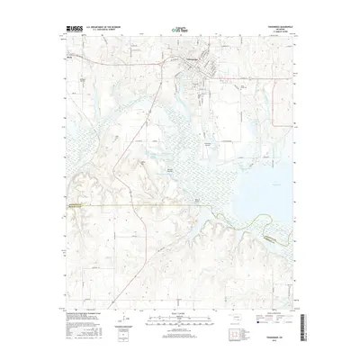
USGS Topo · Published 1990About this map
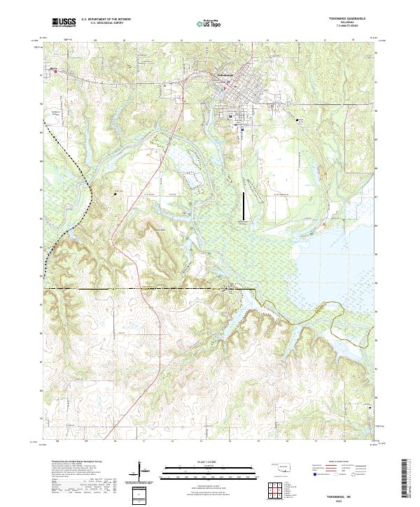
The Arbuckle Mountains provide a dramatic backdrop to this mid-1980s landscape, where the waters of the Washita River flow into the northern reaches of Lake Texoma. This region is defined by significant federal and state land management, including the expansive Tishomingo National Wildlife Refuge and the Chickasaw National Recreation Area. The map reveals an intricate network of water resources and conservation efforts, from the Tishomingo National Fish Hatchery to the Atoka Reservoir in the northeast.
Find a feature on this map
109 named features on this map. Tap any name to fly to it.
Don’t see what you’re looking for? This feature index may not catch every label — zoom into the map to look around manually.
Map Details
Date Portrayed1985
Date Published1990
PublisherU.S. Geological Survey
Map TypeTopographic
Scale1:100,000
Physical Dimensions43.9 x 25.1 inches
Editions of this 1985 Tishomingo Map
3 editions found
Historical Maps of Ardmore Through Time
8 maps found
Featured Locations
Source Details
SourceU.S. Geological Survey
CopyrightPublic Domain