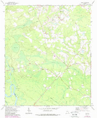
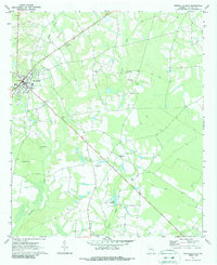
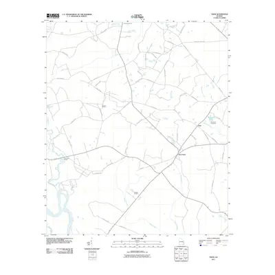
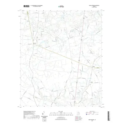
1970 Map of Tison
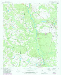
USGS Topo · Published 1988About this map
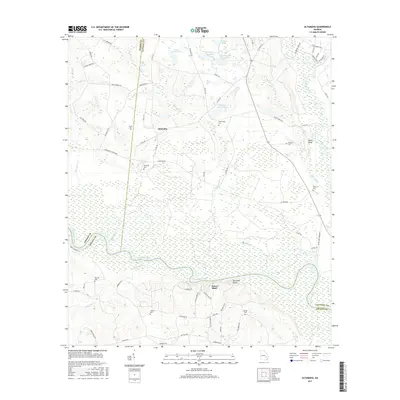
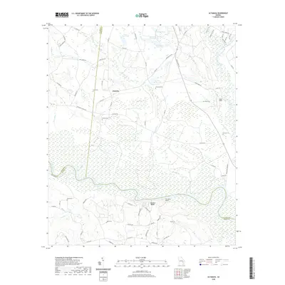
The Ohoopee River and Altamaha River converge at the southwest corner of this landscape, marking the border between Tattnall and Appling counties. In the late 1960s, this area was characterized by a network of rural congregations and family cemeteries, including Pine View Ch, Stony Hill Ch, and Oak Grove Ch. The small settlement of Tison sits near Watermelon Creek, while Five Points serves as a local crossroads to the south. An interesting historical remnant is the Old Railroad Grade in the northeast, indicating a former timber or freight corridor that once serviced the pine forests. Large wetlands such as Dinkins Bay and Padgett Bay dominate the central topography, illustrating the low-lying, water-rich environment typical of this Georgia river basin during the mid-to-late 20th century.
Find a feature on this map
32 named features on this map. Tap any name to fly to it.
Don’t see what you’re looking for? This feature index may not catch every label — zoom into the map to look around manually.
Map Details
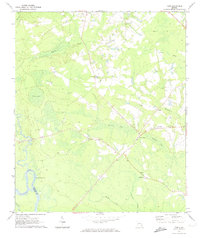
Editions of this 1970 Tison Map
2 editions found
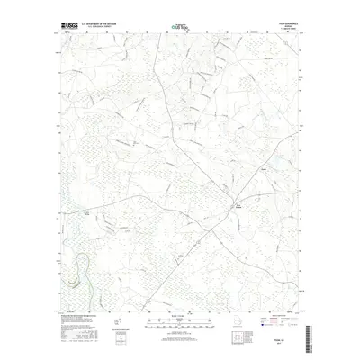
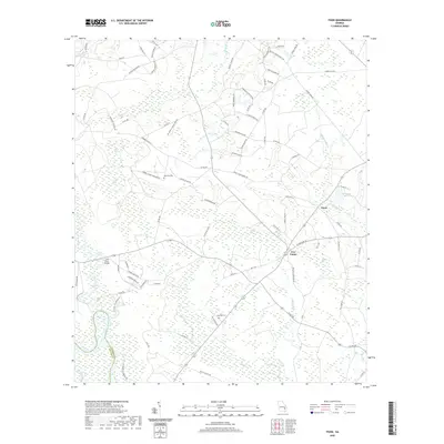
Historical Maps of Five Points Through Time
30 maps found
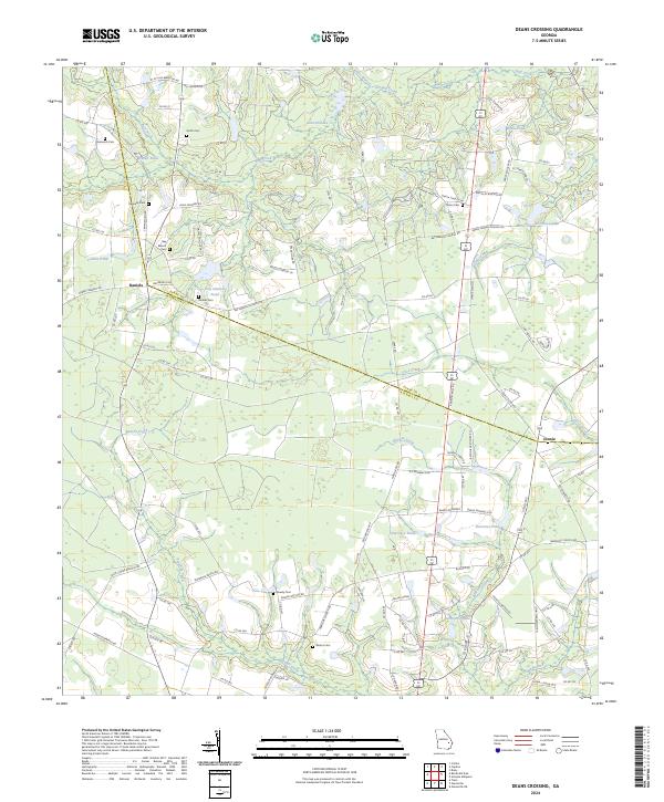
1958 Deans Crossing
Tattnall County, GA
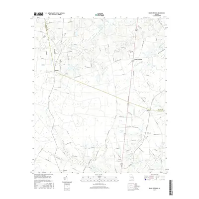
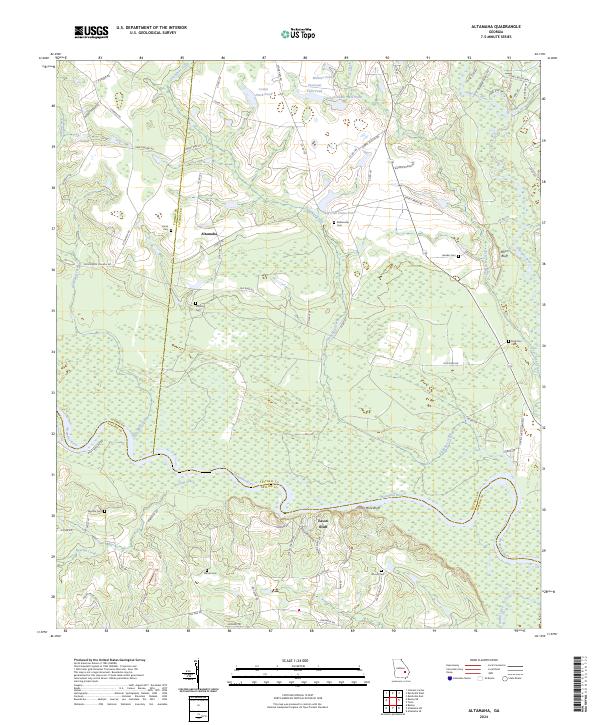
1970 Altamaha
Tattnall County, GA
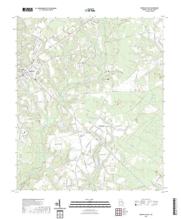
1970 Reidsville East
Tattnall County, GA
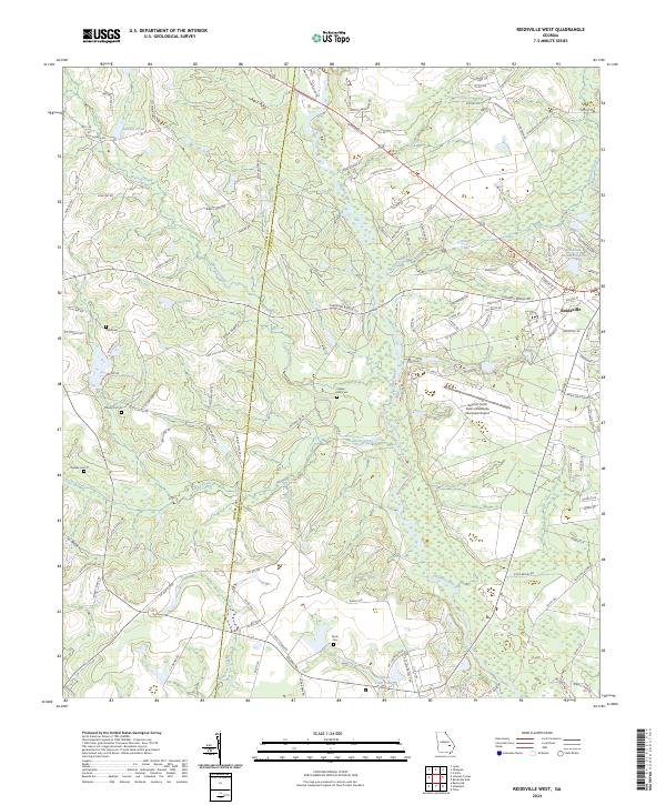
1970 Reidsville West
Tattnall County, GA
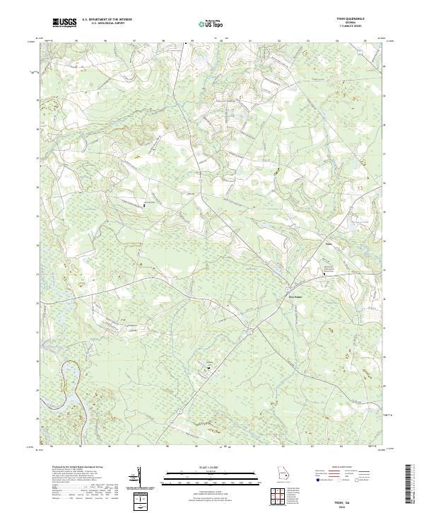
1970 Tison
Tattnall County, GA
2011 Altamaha
Tattnall County, GA
2011 Deans Crossing
Tattnall County, GA

2011 Reidsville East
Tattnall County, GA

2011 Reidsville West
Tattnall County, GA
2011 Tison
Tattnall County, GA
2014 Altamaha
Tattnall County, GA
2014 Deans Crossing
Tattnall County, GA

2014 Reidsville East
Tattnall County, GA

2014 Reidsville West
Tattnall County, GA
2014 Tison
Tattnall County, GA
2017 Altamaha
Tattnall County, GA
2017 Deans Crossing
Tattnall County, GA

2017 Reidsville East
Tattnall County, GA

2017 Reidsville West
Tattnall County, GA
2017 Tison
Tattnall County, GA
2020 Altamaha
Tattnall County, GA
2020 Deans Crossing
Tattnall County, GA

2020 Reidsville East
Tattnall County, GA

2020 Reidsville West
Tattnall County, GA
2020 Tison
Tattnall County, GA
2024 Altamaha
Tattnall County, GA
2024 Deans Crossing
Tattnall County, GA
2024 Reidsville East
Tattnall County, GA
2024 Reidsville West
Tattnall County, GA
2024 Tison
Tattnall County, GA