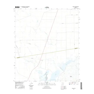
2016 Map of Tivoli SW
USGS Topo · Published 2016About this map
Saint Charles Bay and the northern reaches of the Gulf of Mexico dominate the southern portion of this coastal landscape on the border of Refugio and Aransas counties. The terrain is defined by a low-lying network of water bodies, including Burgentine Lake and the winding course of Artesian Cr, which flow through marshes toward the bay. The map shows a transition from these wetlands to the higher ground of the Black Jack Peninsula in the southeast.
Find a feature on this map
21 named features on this map. Tap any name to fly to it.
Don’t see what you’re looking for? This feature index may not catch every label — zoom into the map to look around manually.
Map Details
Editions of this 2016 Tivoli SW Map
This is the sole edition of this map. No revisions or reprints were ever made.
Other maps of this area

1952 · St. Charles Bay
USGS Topo · 1:24,000

1952 · Tivoli
USGS Topo · 1:24,000

1952 · Mesquite Bay
USGS Topo · 1:24,000

1952 · Tivoli SE
USGS Topo · 1:24,000

1952 · Austwell
USGS Topo · 1:24,000

1952 · Tivoli SW
USGS Topo · 1:24,000

1953 · Beeville
USGS Topo · 1:250,000

1954 · Rockport
USGS Topo · 1:62,500

1954 · Vidaurri
USGS Topo · 1:62,500

1956 · Beeville
USGS Topo · 1:250,000