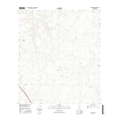
2016 Map of Tobe Branch
USGS Topo · Published 2016About this map
Tobe Spring and the headwaters of the Tobe Branch define this high-country landscape in Kimble County. The area is marked by a complex system of drainage and relief, where several branches of the Sycamore Creek network converge. Along the western edge, named topographic features like Holden Hollow and Pole Hollow descend toward the valleys, while the eastern reaches are characterized by the Jim Little Draw. This modern survey illustrates the persistent rural road network of the Texas Hill Country, featuring routes such as Old Noxville Rd and Stubblefield Rd that weave between ranch lands and the winding courses of Joy Cr and Middle Sycamore Cr. The land use remains primarily agricultural and pastoral, reflected in the density of local ranch roads that connect isolated homesteads across the varying elevations.
Find a feature on this map
36 named features on this map. Tap any name to fly to it.
Don’t see what you’re looking for? This feature index may not catch every label — zoom into the map to look around manually.
Map Details
Editions of this 2016 Tobe Branch Map
This is the sole edition of this map. No revisions or reprints were ever made.
Other maps of this area
1887 · Mason
USGS Topo · 1:125,000
1894 · Mason
USGS Topo · 1:125,000
1894 · Kerrville
USGS Topo · 1:125,000
1954 · Llano
USGS Topo · 1:250,000
1955 · Llano
USGS Topo · 1:250,000
1956 · Llano
USGS Topo · 1:250,000
1968 · Monument Mountain
USGS Topo · 1:24,000
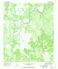
1968 · Yates
USGS Topo · 1:24,000
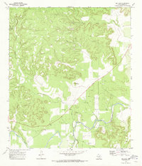
1970 · Big Draw
USGS Topo · 1:24,000
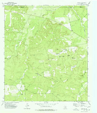
1974 · Noxville
USGS Topo · 1:24,000