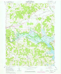
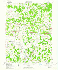
1962 Map of Toboso
USGS Topo · Published 1978About this map
Licking River and its dramatic Licking Gorge define the landscape of western Muskingum County in this 1960s era topographic study. The river enters the eastern portion of the sheet to form the northern reaches of Dillon Lake, a significant hydrological feature that altered the local topography. Along the northern banks, the village of Nashport and the settlement of Irville sit near the transition from river valley to the elevated terrain of The Highlands.
Find a feature on this map
40 named features on this map. Tap any name to fly to it.
Don’t see what you’re looking for? This feature index may not catch every label — zoom into the map to look around manually.
Map Details
Editions of this 1962 Toboso Map
4 editions found
Other maps of this area

1909 · Newark
USGS Topo · 1:62,500

1909 · Thornville
USGS Topo · 1:62,500

1910 · Frazeysburg
USGS Topo · 1:62,500

1910 · Zanesville
USGS Topo · 1:62,500

1947 · Columbus
USGS Topo · 1:250,000

1950 · Marion
USGS Topo · 1:250,000

1961 · Columbus
USGS Topo · 1:250,000

1961 · Hanover
USGS Topo · 1:24,000

1961 · Zanesville West
USGS Topo · 1:24,000
1961 · Glenford
USGS Topo · 1:24,000