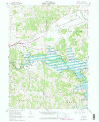
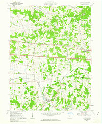
1962 Map of Toboso
USGS Topo · Published 1978About this map
The Licking River carves through the landscape of eastern Ohio, defining the geographic character of this 1960s survey. The river flows through the dramatic Black Hand Narrows and Licking Gorge before widening into the expansive Dillon Lake. This reservoir, shown at its normal pool elevation, altered the local terrain and submerged portions of the river valley near Irville. Transportation history is deeply etched into the hills here, with the Baltimore and Ohio and Pennsylvania railroads following the water's path, alongside remnants of an Old Railroad Grade and a historic Canal.
Find a feature on this map
41 named features on this map. Tap any name to fly to it.
Don’t see what you’re looking for? This feature index may not catch every label — zoom into the map to look around manually.
Map Details
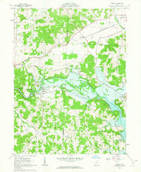
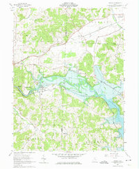
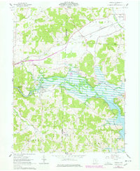
Editions of this 1962 Toboso Map
4 editions found
Other maps of this area

1909 · Newark
USGS Topo · 1:62,500

1909 · Thornville
USGS Topo · 1:62,500

1910 · Frazeysburg
USGS Topo · 1:62,500

1910 · Zanesville
USGS Topo · 1:62,500

1947 · Columbus
USGS Topo · 1:250,000

1950 · Marion
USGS Topo · 1:250,000

1961 · Columbus
USGS Topo · 1:250,000

1961 · Hanover
USGS Topo · 1:24,000

1961 · Zanesville West
USGS Topo · 1:24,000
1961 · Glenford
USGS Topo · 1:24,000