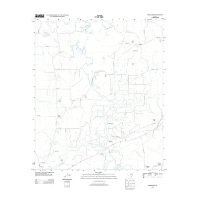
2013 Map of Todd City
USGS Topo · Published 2013About this map
The Neches River meanders through this portion of Cherokee County, defining a landscape shaped by both petroleum extraction and timbered highlands. The presence of the Todd City Oil Field and the Neches Oil Field indicates the industrial character of the region during the early 21st century, where energy production occurs alongside rural settlements like Todd City and Prices. Cultural landmarks such as Earls Chapel and the Miller Cem provide points of interest for those researching local family history, while the terrain is marked by distinct elevations including Jim Beard Mtn, Gray Mtn, and the curiously named Tater Hill. Numerous small lakes, such as Alligator Lake, Cary Lake, and Cherry Tree Lake, are fed by a network of tributaries like Brushy Cr and Walnut Cr, illustrating the complex hydrology of the river basin.
Find a feature on this map
69 named features on this map. Tap any name to fly to it.
Don’t see what you’re looking for? This feature index may not catch every label — zoom into the map to look around manually.
Map Details
Editions of this 2013 Todd City Map
This is the sole edition of this map. No revisions or reprints were ever made.
Other maps of this area
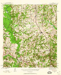
1946 · Bullard
USGS Topo · 1:62,500
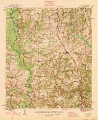
1948 · Bullard
USGS Topo · 1:62,500
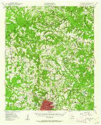
1949 · Palestine
USGS Topo · 1:62,500
1949 · Frankston
USGS Topo · 1:62,500
1950 · Palestine
USGS Topo · 1:62,500
1950 · Frankston
USGS Topo · 1:62,500
1951 · Jacksonville
USGS Topo · 1:62,500

1953 · Palestine
USGS Topo · 1:250,000

1956 · Tyler
USGS Topo · 1:250,000

1957 · Palestine
USGS Topo · 1:250,000