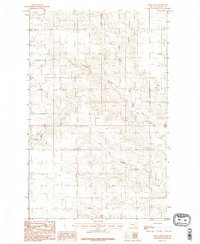
1983 Map of Todd Lakes
USGS Topo · Published 1983About this map
West Fork Wolf Creek and the Dry Fork Wolf Creek converge within this high-plains landscape in Valley County, where the terrain is marked by a network of drainage coulees and seasonal basins. This 1983 provisional map documents the area north of the Missouri River within the Fort Peck Indian Reservation, as indicated by the marginal data. The settlement of Norris sits near the western edge of the quadrangle, while the namesake Todd Lakes occupy a central depression. These ephemeral water features and drainages, including Thiessen Coulee, reveal a landscape shaped by intermittent water flow across the Montana prairie. For researchers, this survey provides a precise look at the land use and drainage patterns of the region during the early 1980s.
Find a feature on this map
7 named features on this map. Tap any name to fly to it.
Don’t see what you’re looking for? This feature index may not catch every label — zoom into the map to look around manually.
Map Details
Editions of this 1983 Todd Lakes Map
2 editions found
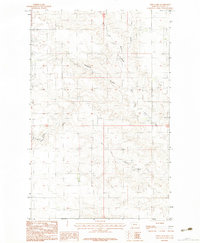
Other maps of this area

1910 · Todd Lakes
USGS Topo · 1:62,500

1915 · Frazer
USGS Topo · 1:62,500

1915 · Oswego
USGS Topo · 1:62,500

1915 · Todd Lakes
USGS Topo · 1:62,500

1915 · Spring Creek
USGS Topo · 1:62,500

1954 · Wolf Point
USGS Topo · 1:250,000

1954 · Glasgow
USGS Topo · 1:250,000

1957 · Glasgow
USGS Topo · 1:250,000

1958 · Wolf Point
USGS Topo · 1:250,000

1958 · Glasgow
USGS Topo · 1:250,000