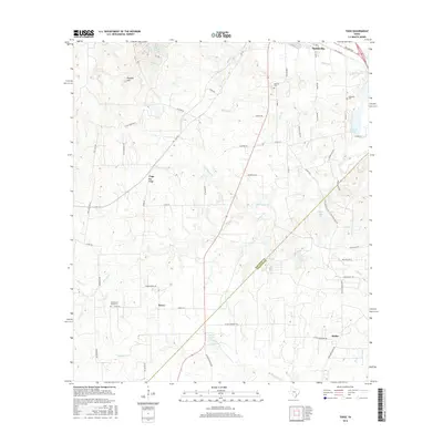
2016 Map of Togo
USGS Topo · Published 2016About this map
Smithville anchors the northeastern corner of this Central Texas landscape, where the southern edge of town transitions into the rolling terrain marked by Royston Hill and the Pea Ridge highlands. The area is defined by the headwaters of numerous creeks, including Bartons Cr and Pricklypear Cr, which drain toward a series of local water bodies such as Stagners Lake and Ellison Lake. Smaller rural clusters like Kovar, Togo, and Stellar appear along the network of county roads, reflecting a distributed settlement pattern south of the Colorado River corridor.
Find a feature on this map
66 named features on this map. Tap any name to fly to it.
Don’t see what you’re looking for? This feature index may not catch every label — zoom into the map to look around manually.
Map Details
Editions of this 2016 Togo Map
This is the sole edition of this map. No revisions or reprints were ever made.
Other maps of this area

1885 · Bastrop
USGS Topo · 1:125,000

1893 · Bastrop
USGS Topo · 1:125,000

1901 · Flatonia
USGS Topo · 1:125,000

1904 · Bastrop
USGS Topo · 1:125,000

1948 · Smithville
USGS Topo · 1:62,500

1948 · Bastrop
USGS Topo · 1:62,500

1950 · Bastrop
USGS Topo · 1:62,500

1950 · Smithville
USGS Topo · 1:62,500

1953 · Seguin
USGS Topo · 1:250,000

1954 · Austin
USGS Topo · 1:250,000