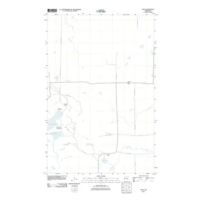
2010 Map of Togo
USGS Topo · Published 2010About this map
The unincorporated settlement of Togo serves as the focal point for this northern Minnesota landscape, where local infrastructure is deeply intertwined with the surrounding timberland and hydrology. The community is anchored by the Togo Post Office and connected to the broader region via a network of county highways and specialized paths like the Snow Mobile Trl and Snake Trl. To the south, the Bear River meanders toward Spring Lake, passing near the Bearville Cemetery, which remains a significant site for local family history and genealogy. The western portion of the map is dominated by the Thistledew recreation and conservation areas, including the Thistledew Lookout Tower and Thistledew Campground. Notably, the area also includes the Department of Corrections Youth Camp Number 2 situated near Thistle dew Lake, illustrating the diverse land use in this pocket of Itasca County during the early 21st century.
Find a feature on this map
23 named features on this map. Tap any name to fly to it.
Don’t see what you’re looking for? This feature index may not catch every label — zoom into the map to look around manually.
Map Details
Editions of this 2010 Togo Map
This is the sole edition of this map. No revisions or reprints were ever made.
Other maps of this area

1919 · Release
USGS Topo · 1:62,500

1943 · Release
USGS Topo · 1:62,500

1954 · Hibbing
USGS Topo · 1:250,000

1957 · Hibbing
USGS Topo · 1:250,000

1958 · Hibbing
USGS Topo · 1:250,000

1964 · Hibbing
USGS Topo · 1:250,000

1964 · Side Lake
USGS Topo · 1:24,000

1964 · Sherry Lake
USGS Topo · 1:24,000

1970 · Rauch
USGS Topo · 1:24,000

1970 · Deer Lake East
USGS Topo · 1:24,000