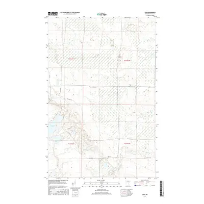
2016 Map of Togo
USGS Topo · Published 2016About this map
Togo serves as the central focal point in this portion of Itasca County, where a network of rural roads and trails navigates a landscape defined by glacial lakes and wetlands. The small settlement is connected by routes such as Co Rd 557 and Co Rd 541, which cut through the surrounding timberland. To the south, Bearville Cem stands near the winding course of the Bear River, providing a significant touchstone for local genealogical research in this sparsely populated area of northern Minnesota.
Find a feature on this map
22 named features on this map. Tap any name to fly to it.
Don’t see what you’re looking for? This feature index may not catch every label — zoom into the map to look around manually.
Map Details
Editions of this 2016 Togo Map
This is the sole edition of this map. No revisions or reprints were ever made.
Other maps of this area
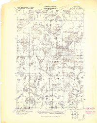
1919 · Release
USGS Topo · 1:62,500
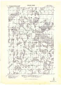
1943 · Release
USGS Topo · 1:62,500

1954 · Hibbing
USGS Topo · 1:250,000

1957 · Hibbing
USGS Topo · 1:250,000

1958 · Hibbing
USGS Topo · 1:250,000

1964 · Hibbing
USGS Topo · 1:250,000
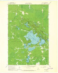
1964 · Side Lake
USGS Topo · 1:24,000
1964 · Sherry Lake
USGS Topo · 1:24,000
1970 · Rauch
USGS Topo · 1:24,000
1970 · Deer Lake East
USGS Topo · 1:24,000