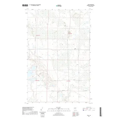
2019 Map of Togo
USGS Topo · Published 2019About this map
The small unincorporated community of Togo occupies a clearing surrounded by the extensive wetland complexes of northern Minnesota. This landscape is defined by its water and recreational access, characterized by numerous glacial bodies such as Thistledew Lake, Sun Lake, and Moose Lake. The Bear River meanders through the southern portion of the quadrangle, flowing past the Bearville Cem near the junction of Thistledew Rd and several county routes.
Find a feature on this map
24 named features on this map. Tap any name to fly to it.
Don’t see what you’re looking for? This feature index may not catch every label — zoom into the map to look around manually.
Map Details
Editions of this 2019 Togo Map
This is the sole edition of this map. No revisions or reprints were ever made.
Other maps of this area
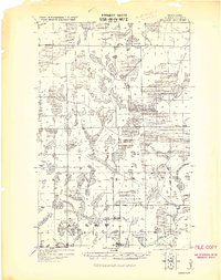
1919 · Release
USGS Topo · 1:62,500
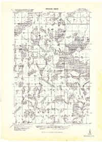
1943 · Release
USGS Topo · 1:62,500

1954 · Hibbing
USGS Topo · 1:250,000

1957 · Hibbing
USGS Topo · 1:250,000

1958 · Hibbing
USGS Topo · 1:250,000

1964 · Hibbing
USGS Topo · 1:250,000
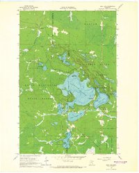
1964 · Side Lake
USGS Topo · 1:24,000
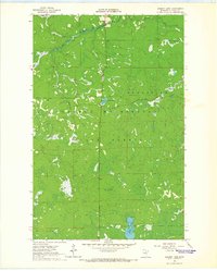
1964 · Sherry Lake
USGS Topo · 1:24,000
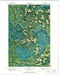
1970 · Rauch
USGS Topo · 1:24,000
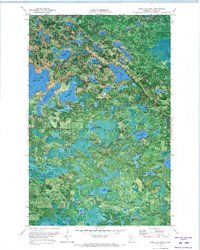
1970 · Deer Lake East
USGS Topo · 1:24,000