
1964 Map of Tohakum Peak NW
USGS Topo · Published 1965About this map
Tohakum Peak stands as the central landmark in this 1960s study of the Lake Range within the Pyramid Lake Indian Reservation. The terrain is characterized by a series of deep canyons, including San Emidio Canyon, Stag Canyon, and the curiously named Hells Kitchen. Life in this arid landscape is oriented around vital water sources, as evidenced by the high concentration of named desert springs. Remote pack trails connect points like Moses Rock Spring and Potato Patch Spring, while a lone Prospect near Groundhog Canyon hints at the mineral exploration common in this part of Nevada. The transition between the high peaks and the basin floor is punctuated by features like Nugent Hole, providing a detailed look at the geography of the northern Great Basin before modern development.
Find a feature on this map
22 named features on this map. Tap any name to fly to it.
Don’t see what you’re looking for? This feature index may not catch every label — zoom into the map to look around manually.
Map Details
Editions of this 1964 Tohakum Peak NW Map
This is the sole edition of this map. No revisions or reprints were ever made.
Other maps of this area

1886 · Granite Range
USGS Topo · 1:250,000

1894 · Granite Range
USGS Topo · 1:250,000

1955 · Lovelock
USGS Topo · 1:250,000

1959 · Lovelock
USGS Topo · 1:250,000
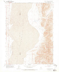
1964 · Tohakum Peak NE
USGS Topo · 1:24,000
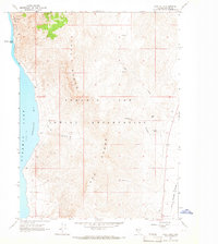
1964 · Dove Creek
USGS Topo · 1:24,000
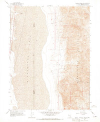
1964 · Tohakum Peak SE
USGS Topo · 1:24,000

1964 · Kumiva Peak
USGS Topo · 1:62,500

1964 · Pyramid NE
USGS Topo · 1:24,000

1965 · Fox Range
USGS Topo · 1:62,500