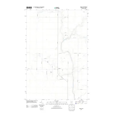
2013 Map of Toivola
USGS Topo · Published 2013About this map
Toivola is situated in a landscape defined by the winding course of the Saint Louis River, which carves through the wetlands and forests of Saint Louis County. This 2013 survey illustrates a sparsely settled rural area where the grid of local roads is shaped by the presence of significant tributaries, including the E Swan River, W Swan River, and the meandering Sand Cr. The community's local history is anchored by the Toivola Cem and the Sarikoski Cem, providing essential points of interest for genealogical research in this northern Minnesota terrain. A network of family-named routes, such as Lavell Rd, Lahti Rd, and Maki Rd, crisscrosses the township, reflecting the agricultural and residential lineage of the region. The map captures the delicate balance between the natural water systems and the established human footprint in the early 21st century.
Find a feature on this map
30 named features on this map. Tap any name to fly to it.
Don’t see what you’re looking for? This feature index may not catch every label — zoom into the map to look around manually.
Map Details
Editions of this 2013 Toivola Map
This is the sole edition of this map. No revisions or reprints were ever made.
Other maps of this area
1951 · Casco
USGS Topo · 1:24,000
1952 · Riley
USGS Topo · 1:24,000
1952 · Little Swan
USGS Topo · 1:24,000
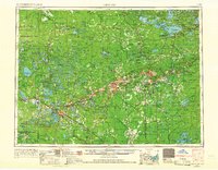
1954 · Hibbing
USGS Topo · 1:250,000
1957 · Hibbing
USGS Topo · 1:250,000
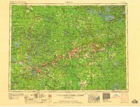
1958 · Hibbing
USGS Topo · 1:250,000
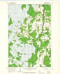
1963 · Elmer
USGS Topo · 1:24,000
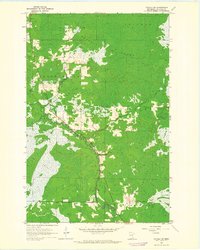
1963 · Toivola SW
USGS Topo · 1:24,000
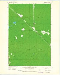
1963 · Upstead Lake
USGS Topo · 1:24,000
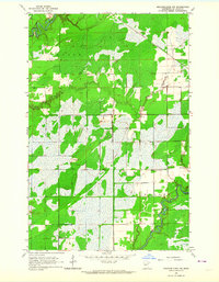
1963 · Meadowlands NW
USGS Topo · 1:24,000