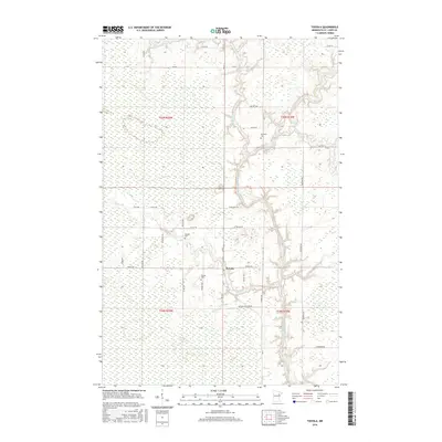
2016 Map of Toivola
USGS Topo · Published 2016About this map
Toivola and its surrounding wetlands occupy a low-lying stretch of Saint Louis County where the Saint Louis River and its tributaries define the drainage. The area is characterized by the expansive Toivola Swamp, a landscape that has historically shaped the placement of local roads and farmsteads. Local history is anchored at the central settlement along Arkola Rd, while the Toivola Cem and Sarikoski Cem serve as important touchstones for genealogical research in this rural Minnesota community. The hydrology is complex, featuring the convergence of the W Swan River and E Swan River as they meander toward the larger river system. A network of township roads, including W Toivola Rd and Gust Lahti Rd, connects the scattered residences and provides a detailed view of the rural township's contemporary layout.
Find a feature on this map
38 named features on this map. Tap any name to fly to it.
Don’t see what you’re looking for? This feature index may not catch every label — zoom into the map to look around manually.
Map Details
Editions of this 2016 Toivola Map
This is the sole edition of this map. No revisions or reprints were ever made.
Other maps of this area
1951 · Casco
USGS Topo · 1:24,000
1952 · Riley
USGS Topo · 1:24,000
1952 · Little Swan
USGS Topo · 1:24,000
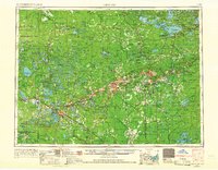
1954 · Hibbing
USGS Topo · 1:250,000
1957 · Hibbing
USGS Topo · 1:250,000
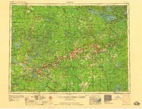
1958 · Hibbing
USGS Topo · 1:250,000
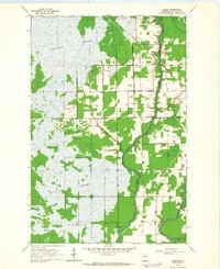
1963 · Elmer
USGS Topo · 1:24,000
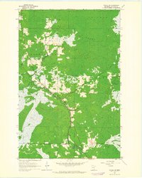
1963 · Toivola SW
USGS Topo · 1:24,000
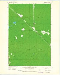
1963 · Upstead Lake
USGS Topo · 1:24,000
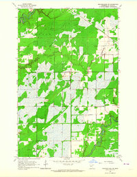
1963 · Meadowlands NW
USGS Topo · 1:24,000