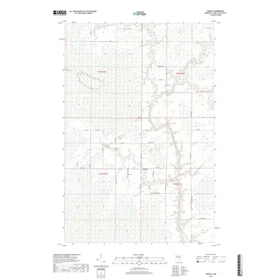
2019 Map of Toivola
USGS Topo · Published 2019About this map
The settlement of Toivola serves as the focal point for this section of Saint Louis County, a landscape defined by its complex hydrography and wetland systems. Extensive marshlands, notably the Toivola Swamp, stretch across the terrain, shaping the development of local infrastructure. The drainage network is anchored by the Saint Louis River and the Swan River, with numerous tributaries like Sand Cr and Stony Cr cutting through the wooded flats.
Find a feature on this map
39 named features on this map. Tap any name to fly to it.
Don’t see what you’re looking for? This feature index may not catch every label — zoom into the map to look around manually.
Map Details
Editions of this 2019 Toivola Map
This is the sole edition of this map. No revisions or reprints were ever made.
Other maps of this area

1951 · Casco
USGS Topo · 1:24,000

1952 · Riley
USGS Topo · 1:24,000

1952 · Little Swan
USGS Topo · 1:24,000

1954 · Hibbing
USGS Topo · 1:250,000

1957 · Hibbing
USGS Topo · 1:250,000

1958 · Hibbing
USGS Topo · 1:250,000

1963 · Elmer
USGS Topo · 1:24,000

1963 · Toivola SW
USGS Topo · 1:24,000

1963 · Upstead Lake
USGS Topo · 1:24,000

1963 · Meadowlands NW
USGS Topo · 1:24,000