
1957 Map of Tolleson
USGS Topo · Published 1958About this map
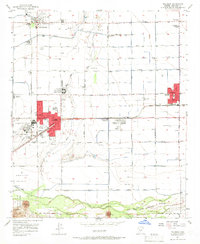
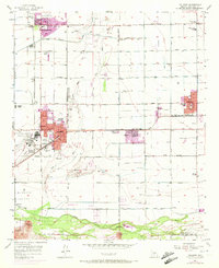
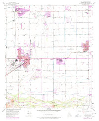
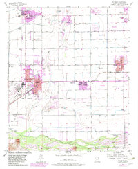
The agricultural landscape of the Salt River Valley is captured here just before the massive suburban expansion of the late 20th century. Farming communities like Avondale, Goodyear, and Tolleson are depicted as distinct settlements connected by the Southern Pacific railroad and a grid of irrigation canals. The drainage patterns are defined by the convergence of the Agua Fria River, the Salt River, and the Gila River, which dominate the southern portion of the survey. Significant land use for aviation and labor is evident near Litchfield Park, while the smaller community of Cashion sits along the transit corridor. This survey provides a precise look at the rural-to-urban transition in Maricopa County, documenting the exact footprint of early town sites and the industrial infrastructure that supported the region's mid-century growth.
Find a feature on this map
9 named features on this map. Tap any name to fly to it.
Don’t see what you’re looking for? This feature index may not catch every label — zoom into the map to look around manually.
Map Details
Editions of this 1957 Tolleson Map
5 editions found
Other maps of this area

1912 · Phoenix
USGS Topo · 1:62,500

1914 · Phoenix
USGS Topo · 1:62,500

1946 · Avondale
USGS Topo · 1:62,500

1948 · Cashion
USGS Topo · 1:62,500

1952 · Laveen
USGS Topo · 1:24,000

1952 · Fowler
USGS Topo · 1:24,000

1952 · Phoenix
USGS Topo · 1:62,500

1954 · Phoenix
USGS Topo · 1:250,000

1957 · Phoenix
USGS Topo · 1:250,000

1957 · Perryville
USGS Topo · 1:24,000