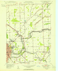
1950 Map of Tonawanda East
USGS Topo · Published 1950About this map
Tonawanda Creek and the Erie Canal dominate this 1950 landscape, serving as the industrial and geographical dividing line between Niagara and Erie counties. The transition from the urban centers of North Tonawanda and Tonawanda to the rural townships of Wheatfield and Pendleton is clearly visible, marked by a dense network of transport infrastructure. Multiple rail lines, including the New York Central Railroad and the International Railway, converge near the waterway, highlighting the area's role as a major regional transit hub.
Find a feature on this map
65 named features on this map. Tap any name to fly to it.
Don’t see what you’re looking for? This feature index may not catch every label — zoom into the map to look around manually.
Map Details
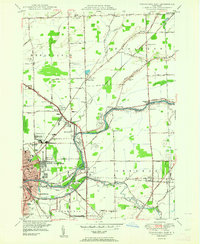
Editions of this 1950 Tonawanda East Map
2 editions found
Other maps of this area

1894 · Buffalo
USGS Topo · 1:62,500

1897 · Tonawanda
USGS Topo · 1:62,500

1897 · Lockport
USGS Topo · 1:62,500

1899 · Niagara
USGS Topo · 1:125,000

1900 · Tonawanda
USGS Topo · 1:62,500

1901 · Buffalo
USGS Topo · 1:62,500

1901 · Tonawanda
USGS Topo · 1:62,500

1902 · Lockport
USGS Topo · 1:62,500

1905 · Depew
USGS Topo · 1:62,500

1905 · Lockport
USGS Topo · 1:62,500