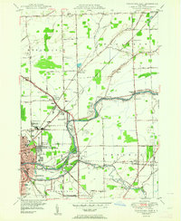
1950 Map of Tonawanda East
USGS Topo · Published 1964About this map
Tonawanda Creek serves as the dividing line between Niagara Co and Erie Co, defining the industrial and transit character of this region during the mid-century. The twin cities of North Tonawanda and Tonawanda are depicted as major hubs, where the Erie RR and New York Central RR converge near the waterway. The landscape transitions from dense urban development and municipal infrastructure like Ellicott Creek Park and Memorial Hospital to rural agricultural lands dotted with numbered schoolhouses and small settlements. Local history and genealogy interest is concentrated in the numerous burial grounds, including the large White Chapel Memorial Cemetery and the more secluded Bear Ridge Cem. North of the creek, the International Railway cuts across the township of Pendleton, marking the path of earlier electric rail transit through hamlets such as Beach Ridge and Wendelville.
Find a feature on this map
92 named features on this map. Tap any name to fly to it.
Don’t see what you’re looking for? This feature index may not catch every label — zoom into the map to look around manually.
Map Details
Editions of this 1950 Tonawanda East Map
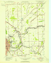
2 editions found
Other maps of this area

1894 · Buffalo
USGS Topo · 1:62,500

1897 · Tonawanda
USGS Topo · 1:62,500

1897 · Lockport
USGS Topo · 1:62,500

1899 · Niagara
USGS Topo · 1:125,000

1900 · Tonawanda
USGS Topo · 1:62,500

1901 · Buffalo
USGS Topo · 1:62,500

1901 · Tonawanda
USGS Topo · 1:62,500

1902 · Lockport
USGS Topo · 1:62,500

1905 · Depew
USGS Topo · 1:62,500

1905 · Lockport
USGS Topo · 1:62,500